

Road Watch
Keep up to date with local road conditions from Waka Kotahi NZ Transport Agency

The Coromandel is located on the Pacific Coast Highway - on the east coast of New Zealand's North Island. With the Karangahake Gorge and the Hauraki Plains at the southern end, the region is located within a 90-minute drive of the major centres of Auckland, Hamilton, Rotorua and their international airports.
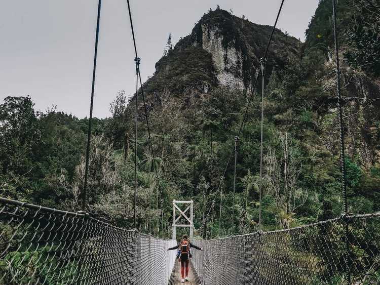
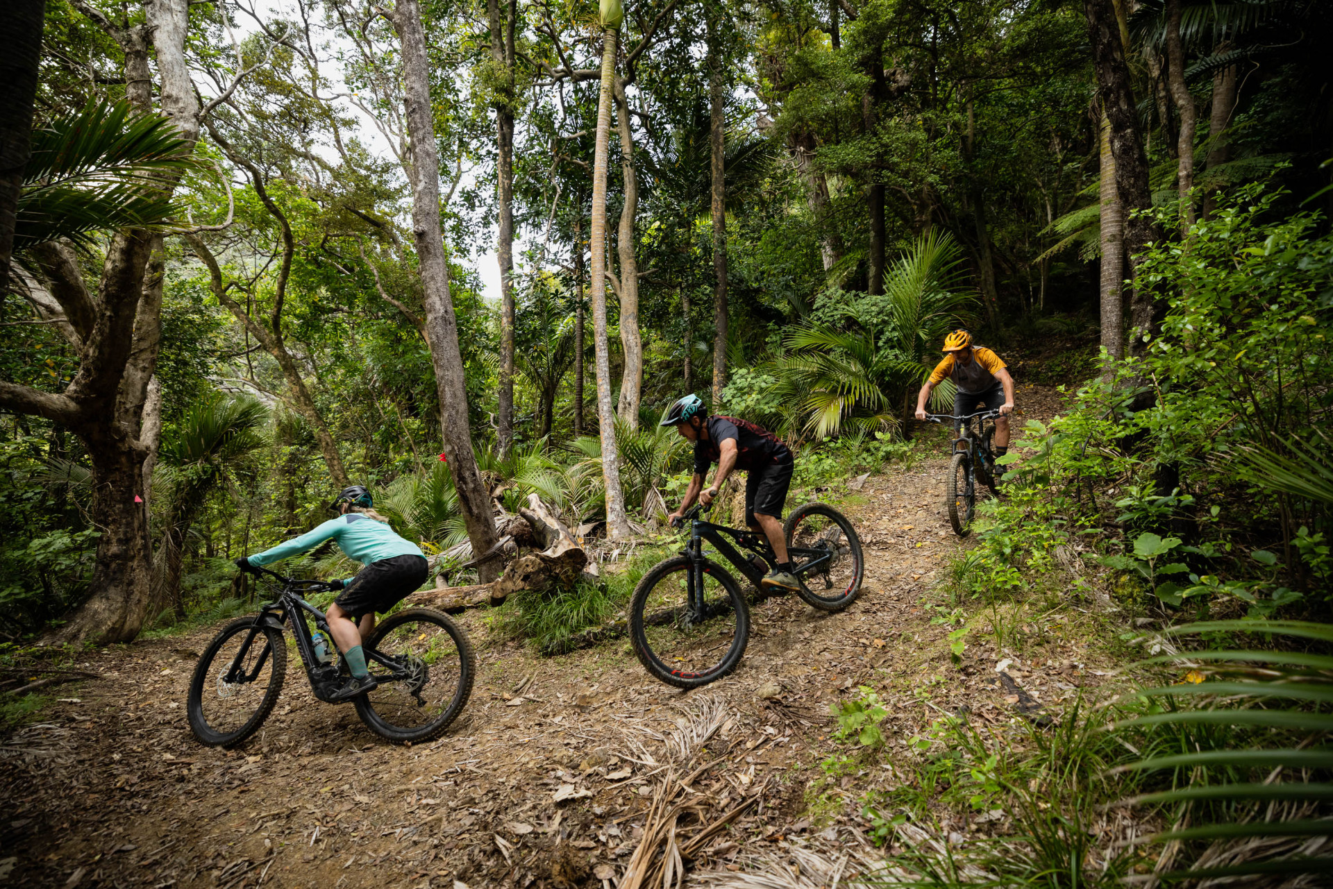
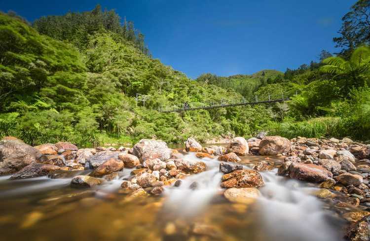
Getting around The Coromandel and its townships is easy; make your way around The Coromandel loop to discover all that our region has to offer.
Note:
- SH25A Kōpū-Hikuai Road - OPEN. Download the Hauraki Coromandel Travel App on Apple Store or Google Play for updates on roads, weather, tides and places to explore
Keep up to date with local road conditions from Waka Kotahi NZ Transport Agency


Check the marine forecast
Check for weather warnings before heading off
OUT NOW. Download our regional travel app, where you can see in real-time how easy it is to get here and around. The app has up-to-date road conditions, tide times, tracks and trail alerts, weather updates and things to see and do around Hauraki Coromandel.


Getting around The Coromandel and its townships is easy, make your way around The Coromandel loop to discover all that The Coromandel has to offer.


Check out the network of charging stations at key points around The Coromandel, allowing for convenient travel in an electric vehicle.


